By Teresa Adams ’20
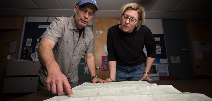
Professor Carsten Braun, Ph.D, says students studying geographic information system (GIS) thought it was funny when he brought out a paper map on a road trip they took to South Carolina. They were accustomed to doing their map work on tablets and computers. Dr. Braun explained the importance of practicing the ways of the past.
The GIS program has come a long way since it was first launched at Westfield State in the late ’80s. Paper maps were the main way to study spatial relationships initially. Now, technology has grown to offer mapping via computers, smartphones, tablets, and even drones.
Timothy LeDoux, Ph.D., the GIS coordinator says, “The GIS program trains people in what we call cutting-edge spatial technology.”
Dr. Braun adds, “It’s the art of map-making, using science.”
The technology is an important tool for city planning and building, climate change research, land conservation, and environmental science, and police departments use GIS for crime mapping; fire departments use GIS to map out areas of a fire district, showing where the majority of fires occur.
GIS technology saves lives by monitoring climate changes and predicting natural disasters such as flooding and hurricanes, Dr. Braun says. GIS can also be used to get supplies to people in crisis.
Dr. Braun says students often come back to Westfield State to earn the GIS certificate after completing the GIS minor because it offers an added boost in the job search. Eric Bloomquist ’18 earned the certificate and says it helped him get a job as a digital scholarship resident at the University of Massachusetts. “The instructors I had at Westfield State were great,” he says.
Stacey Dakai, who is expected to receive her certificate in 2020, was previously employed by the Massachusetts Department of Environmental Protection as an environmental analyst in the emergency response department.
“My hope,” she says, “is to learn some new skills that will be marketable.”
In October 2019, Drs. Braun and LeDoux hosted an industry event, GIS Educators Day, in Newry, Maine. Students as young as kindergartners learn the importance of maps by learning spatial relationships. Educators use giant floor maps that the children can walk all over to see different locations in Massachusetts, offering a concrete way to grasp the concepts.
At the event, middle school educators also were introduced to the software ArcGIS StoryMaps. “It’s like PowerPoint on steroids,” Dr. LeDoux says. “It allows you to combine maps, imagery, multimedia, and a narrative to tell a dynamic and immersive story.”


